Converted chapel, Morley
Introduction
The photograph on this page of Converted chapel, Morley by Stephen Craven as part of the Geograph project.
The Geograph project started in 2005 with the aim of publishing, organising and preserving representative images for every square kilometre of Great Britain, Ireland and the Isle of Man.

There are currently over 7.5m images from over 14,400 individuals and you can help contribute to the project by visiting https://www.geograph.org.uk
Converted chapel, Morley
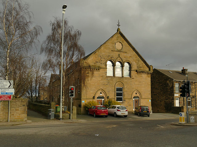
Image: © Stephen Craven Taken: 11 Jan 2020
Alongside the A650 which at this point changes name from Britannia Road to Bruntcliffe Road. It has been converted to housing for at least ten years, see Image There was a Methodist chapel close by, and an Anglican church (St Andrew's) still exists, so I don't know what denomination this was.
Images are licensed for reuse under creativecommons.org/licenses/by-sa/2.0
Image Location
Latitude
53.73777
Longitude
-1.612622