Kent Street, Upper Gornal
Introduction
The photograph on this page of Kent Street, Upper Gornal by Stephen McKay as part of the Geograph project.
The Geograph project started in 2005 with the aim of publishing, organising and preserving representative images for every square kilometre of Great Britain, Ireland and the Isle of Man.

There are currently over 7.5m images from over 14,400 individuals and you can help contribute to the project by visiting https://www.geograph.org.uk
Kent Street, Upper Gornal
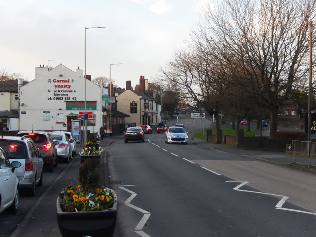
Image: © Stephen McKay Taken: 10 Jan 2020
Looking towards the Gornal Dynasty, a Chinese take-away that has lost a few letters from the wall, and beyond that the Britannia pub.
Images are licensed for reuse under creativecommons.org/licenses/by-sa/2.0
Image Location
Latitude
52.527435
Longitude
-2.115665