Bog Height Road, Earcroft
Introduction
The photograph on this page of Bog Height Road, Earcroft by Chris Heaton as part of the Geograph project.
The Geograph project started in 2005 with the aim of publishing, organising and preserving representative images for every square kilometre of Great Britain, Ireland and the Isle of Man.

There are currently over 7.5m images from over 14,400 individuals and you can help contribute to the project by visiting https://www.geograph.org.uk
Bog Height Road, Earcroft
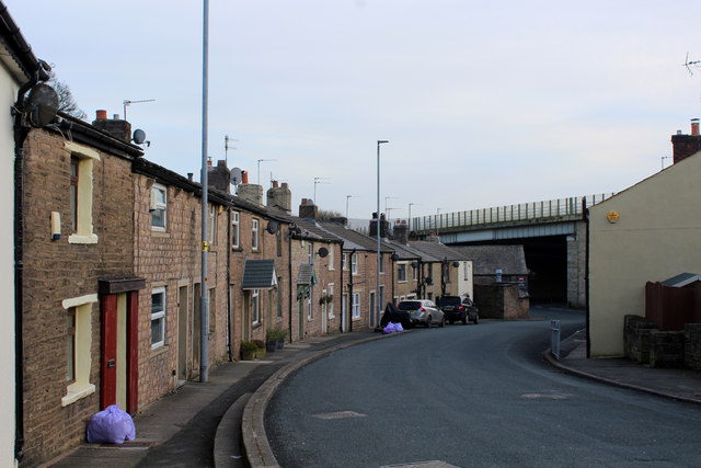
Image: © Chris Heaton Taken: 8 Jan 2020
Leading down to the A666, just below the M65 positioned high above the scene on a flyover
Images are licensed for reuse under creativecommons.org/licenses/by-sa/2.0
Image Location
Latitude
53.716651
Longitude
-2.484692