Trans Pennine Trail, Grappenhall
Introduction
The photograph on this page of Trans Pennine Trail, Grappenhall by Richard Webb as part of the Geograph project.
The Geograph project started in 2005 with the aim of publishing, organising and preserving representative images for every square kilometre of Great Britain, Ireland and the Isle of Man.

There are currently over 7.5m images from over 14,400 individuals and you can help contribute to the project by visiting https://www.geograph.org.uk
Trans Pennine Trail, Grappenhall
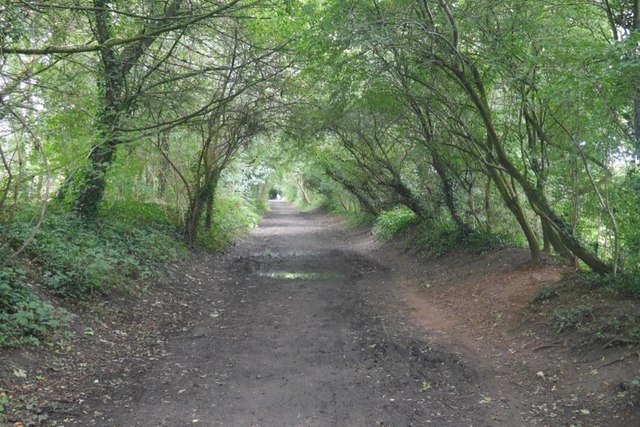
Image: © Richard Webb Taken: 11 Aug 2019
The closure was probably precipitated by the need to renovate the Latchford Viaduct. At that time one of the Stupid's big ideas was an ideological loathing of railways. Even the Forth Bridge (same engineers, Arrol) was considered for closure.
Images are licensed for reuse under creativecommons.org/licenses/by-sa/2.0
Image Location
Latitude
53.378476
Longitude
-2.534056