Walton Way, near Mitcham
Introduction
The photograph on this page of Walton Way, near Mitcham by Malc McDonald as part of the Geograph project.
The Geograph project started in 2005 with the aim of publishing, organising and preserving representative images for every square kilometre of Great Britain, Ireland and the Isle of Man.

There are currently over 7.5m images from over 14,400 individuals and you can help contribute to the project by visiting https://www.geograph.org.uk
Walton Way, near Mitcham
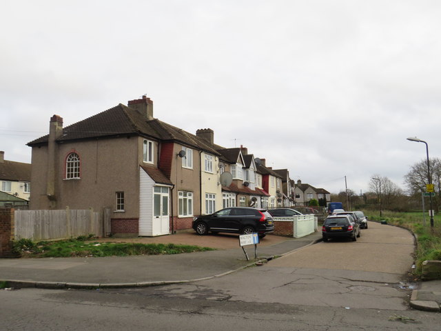
Image: © Malc McDonald Taken: 11 Jan 2020
Walton Way is a short cul-de-sac with houses looking out over Mitcham Common.
Images are licensed for reuse under creativecommons.org/licenses/by-sa/2.0
Image Location


Leaflet Map data © OpenStreetMap
Latitude
51.399673
Longitude
-0.145123