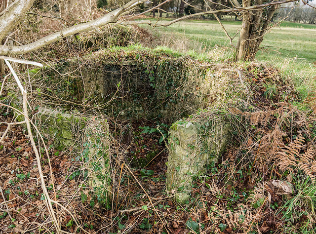
WWII Dorset: discovering RAF Warmwell (15)
Introduction
The photograph on this page of WWII Dorset: discovering RAF Warmwell (15) by Mike Searle as part of the Geograph project.
The Geograph project started in 2005 with the aim of publishing, organising and preserving representative images for every square kilometre of Great Britain, Ireland and the Isle of Man.
There are currently over 7.5m images from over 14,400 individuals and you can help contribute to the project by visiting https://www.geograph.org.uk

Image: © Mike Searle Taken: 10 Jan 2020
- The Airfield - LAA emplacement EDoB ID: e47785 This circular brick-built gun pit was probably one of several that were built for light anti-aircraft defence of the airfield. It lies on the north side of the road within the hedgeline, about 100 yards east of Egdon House. The recess to the rear was probably to house an ammunition locker. Not quite visible in this photo in the centre of the gun pit, is a tubular machine gun mounting called a 'Motley stalk'. Image

