View along North Burns
Introduction
The photograph on this page of View along North Burns by Robert Graham as part of the Geograph project.
The Geograph project started in 2005 with the aim of publishing, organising and preserving representative images for every square kilometre of Great Britain, Ireland and the Isle of Man.

There are currently over 7.5m images from over 14,400 individuals and you can help contribute to the project by visiting https://www.geograph.org.uk
View along North Burns
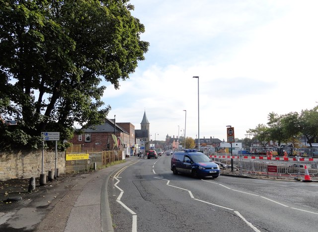
Image: © Robert Graham Taken: 14 Oct 2019
In Chester le Street town centre. The market place on the right is in the middle of a large scale redevelopment connected with a new culvert for the burn. The spire at the end of the street is on the Methodist Church.
Images are licensed for reuse under creativecommons.org/licenses/by-sa/2.0
Image Location
Latitude
54.859168
Longitude
-1.575787