Green Lane
Introduction
The photograph on this page of Green Lane by Gordon Hatton as part of the Geograph project.
The Geograph project started in 2005 with the aim of publishing, organising and preserving representative images for every square kilometre of Great Britain, Ireland and the Isle of Man.

There are currently over 7.5m images from over 14,400 individuals and you can help contribute to the project by visiting https://www.geograph.org.uk
Green Lane
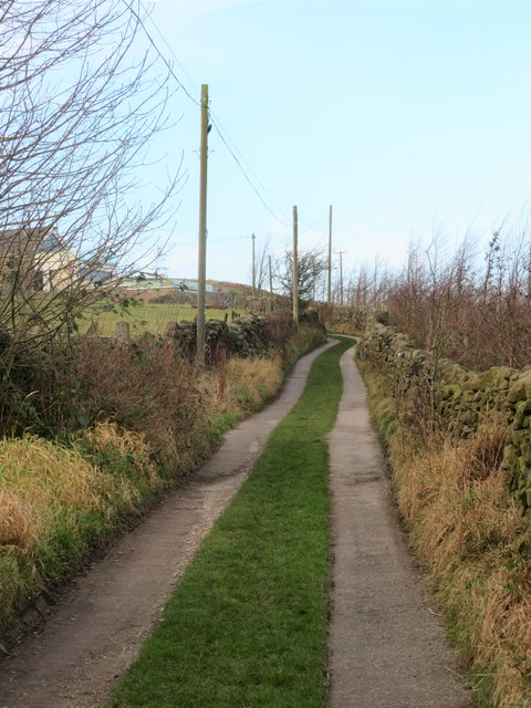
Image: © Gordon Hatton Taken: 8 Jan 2020
Green Lane is the name of this little road rather than a description of it. The lane serves several houses and farms on the hillside above Burley Woodhead.
Images are licensed for reuse under creativecommons.org/licenses/by-sa/2.0
Image Location
Latitude
53.897446
Longitude
-1.772457