North Burns railway viaduct
Introduction
The photograph on this page of North Burns railway viaduct by Robert Graham as part of the Geograph project.
The Geograph project started in 2005 with the aim of publishing, organising and preserving representative images for every square kilometre of Great Britain, Ireland and the Isle of Man.

There are currently over 7.5m images from over 14,400 individuals and you can help contribute to the project by visiting https://www.geograph.org.uk
North Burns railway viaduct
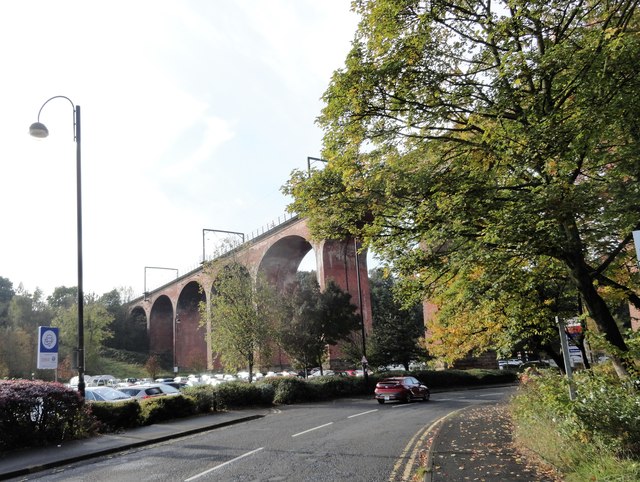
Image: © Robert Graham Taken: 14 Oct 2019
Carries the East Coast Main Line over Chester le Street town centre. Constructed in the 1860's.
Images are licensed for reuse under creativecommons.org/licenses/by-sa/2.0
Image Location
Latitude
54.858821
Longitude
-1.579373