St.Cuthberts
Introduction
The photograph on this page of St.Cuthberts by Roger May as part of the Geograph project.
The Geograph project started in 2005 with the aim of publishing, organising and preserving representative images for every square kilometre of Great Britain, Ireland and the Isle of Man.

There are currently over 7.5m images from over 14,400 individuals and you can help contribute to the project by visiting https://www.geograph.org.uk
St.Cuthberts
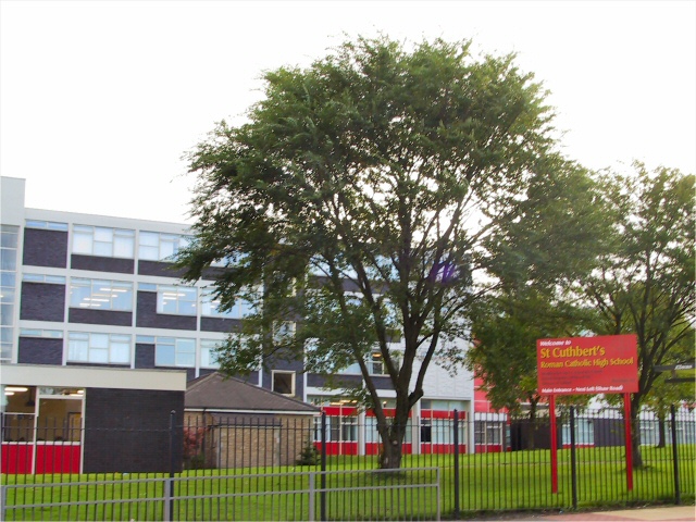
Image: © Roger May Taken: 10 Oct 2005
R.C. High School opposite the Yew Tree inn below Buersil Head. Neither the school nor the motorway (not surprisingly) to the left of shot appear on the 1940s O/S map.
Images are licensed for reuse under creativecommons.org/licenses/by-sa/2.0
Image Location


Leaflet Map data © OpenStreetMap
Latitude
53.590098
Longitude
-2.140459