Common Lane, Scruton
Introduction
The photograph on this page of Common Lane, Scruton by Gordon Hatton as part of the Geograph project.
The Geograph project started in 2005 with the aim of publishing, organising and preserving representative images for every square kilometre of Great Britain, Ireland and the Isle of Man.

There are currently over 7.5m images from over 14,400 individuals and you can help contribute to the project by visiting https://www.geograph.org.uk
Common Lane, Scruton
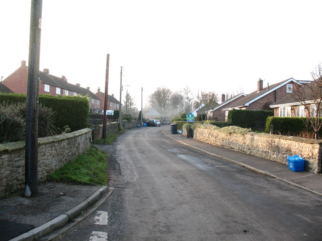
Image: © Gordon Hatton Taken: 19 Dec 2007
The principal street through the village is a cul de sac at the eastern end. This view looks west towards the village centre.
Images are licensed for reuse under creativecommons.org/licenses/by-sa/2.0
Image Location


Leaflet Map data © OpenStreetMap
Latitude
54.327181
Longitude
-1.536224