Straits Road, Gornalwood
Introduction
The photograph on this page of Straits Road, Gornalwood by Stephen McKay as part of the Geograph project.
The Geograph project started in 2005 with the aim of publishing, organising and preserving representative images for every square kilometre of Great Britain, Ireland and the Isle of Man.

There are currently over 7.5m images from over 14,400 individuals and you can help contribute to the project by visiting https://www.geograph.org.uk
Straits Road, Gornalwood
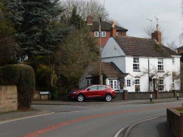
Image: © Stephen McKay Taken: 10 Jan 2020
The white house at the junction of Straits Road and The Alley is obviously much older than the other houses in the vicinity. It might perhaps have originally been a farmhouse surrounded by fields.
Images are licensed for reuse under creativecommons.org/licenses/by-sa/2.0
Image Location
Latitude
52.519231
Longitude
-2.13716