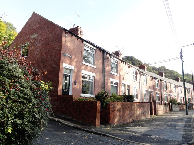
West end of Glen Terrace
Introduction
The photograph on this page of West end of Glen Terrace by Robert Graham as part of the Geograph project.
The Geograph project started in 2005 with the aim of publishing, organising and preserving representative images for every square kilometre of Great Britain, Ireland and the Isle of Man.
There are currently over 7.5m images from over 14,400 individuals and you can help contribute to the project by visiting https://www.geograph.org.uk

Image: © Robert Graham Taken: 14 Oct 2019
This street stands on Pelton Fell Road, which follows the Cong Burn through the wooded ravine of Stella Gill into Chester le Street town Centre. It is a rather strange spot for a row of terraced houses, but there was an ironworks here in late Victorian times, and this may have been for the workers. Built in the early 20th century, before the First World War.

