Warrington to Stockport trackbed
Introduction
The photograph on this page of Warrington to Stockport trackbed by Richard Webb as part of the Geograph project.
The Geograph project started in 2005 with the aim of publishing, organising and preserving representative images for every square kilometre of Great Britain, Ireland and the Isle of Man.

There are currently over 7.5m images from over 14,400 individuals and you can help contribute to the project by visiting https://www.geograph.org.uk
Warrington to Stockport trackbed
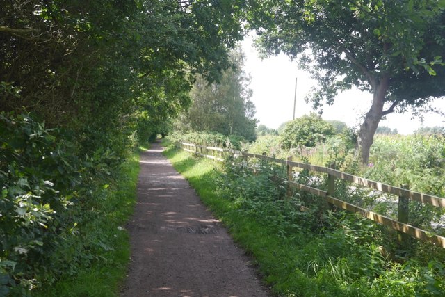
Image: © Richard Webb Taken: 11 Aug 2019
Now the Transpennine Trail. The line closed to passengers in 1962 and completely in 1985.
Images are licensed for reuse under creativecommons.org/licenses/by-sa/2.0
Image Location
Latitude
53.386921
Longitude
-2.471013