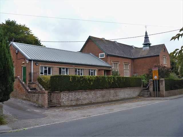
West Lavington buildings [5]
Introduction
The photograph on this page of West Lavington buildings [5] by Michael Dibb as part of the Geograph project.
The Geograph project started in 2005 with the aim of publishing, organising and preserving representative images for every square kilometre of Great Britain, Ireland and the Isle of Man.
There are currently over 7.5m images from over 14,400 individuals and you can help contribute to the project by visiting https://www.geograph.org.uk

Image: © Michael Dibb Taken: 11 Sep 2019
The older part of the building (furthest from camera) was built in 1854 as a parochial school. This provided for the first time education for girls, boys had been provided for since 1553. The buildings are now part of Dauntsey's School. West Lavington, along with Littleton Panell, form a nearly continuous line of ribbon development along the A360 Devizes to Salisbury road on the northern edge of Salisbury Plain. There is evidence of occupation in this area from late Neolithic or early Bronze Age times. The Dauntsey family owned land in the parish from at least 1474 and in 1542 William Dauntsey's bequest founded a school and almshouses.

