B4024 to Much Marcle
Introduction
The photograph on this page of B4024 to Much Marcle by Pauline E as part of the Geograph project.
The Geograph project started in 2005 with the aim of publishing, organising and preserving representative images for every square kilometre of Great Britain, Ireland and the Isle of Man.

There are currently over 7.5m images from over 14,400 individuals and you can help contribute to the project by visiting https://www.geograph.org.uk
B4024 to Much Marcle
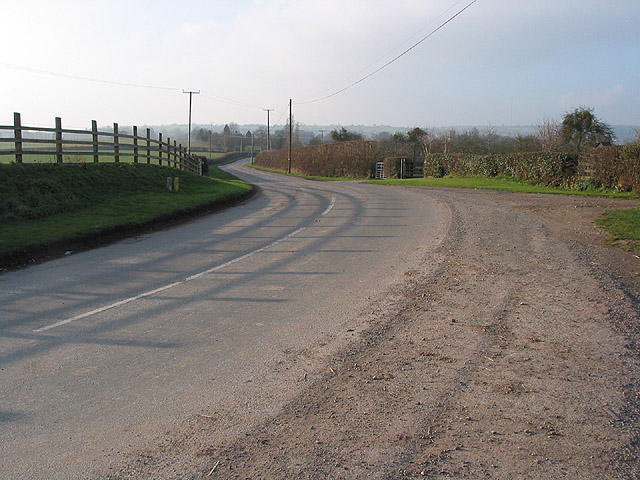
Image: © Pauline E Taken: 19 Dec 2007
A large orchard lies behind the hedge in the centre. The transmitter on Ridgehill is usually very clearly seen from this point but the visibility today is poor.
Images are licensed for reuse under creativecommons.org/licenses/by-sa/2.0
Image Location


Leaflet Map data © OpenStreetMap
Latitude
51.991106
Longitude
-2.488551