Ploughed field off Bellstring Lane, Kirkheaton
Introduction
The photograph on this page of Ploughed field off Bellstring Lane, Kirkheaton by Humphrey Bolton as part of the Geograph project.
The Geograph project started in 2005 with the aim of publishing, organising and preserving representative images for every square kilometre of Great Britain, Ireland and the Isle of Man.

There are currently over 7.5m images from over 14,400 individuals and you can help contribute to the project by visiting https://www.geograph.org.uk
Ploughed field off Bellstring Lane, Kirkheaton
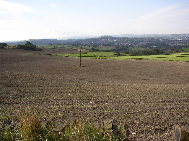
Image: © Humphrey Bolton Taken: 10 Oct 2005
Most of the higher land in this area is pasture, but some is cultivated, often for oil-seed rape. Bellstring Lane refers to the lines of packhorses that used this ancient ridge route from Pontefract to Elland. In the background is Castle Hill, with the Jubilee Tower on top, and behind that the high Pennine ridge
Images are licensed for reuse under creativecommons.org/licenses/by-sa/2.0
Image Location
Latitude
53.655439
Longitude
-1.707943