N.R.D.C. - a relic of Neath Rural District Council in the Main Road pavement, Crynant
Introduction
The photograph on this page of N.R.D.C. - a relic of Neath Rural District Council in the Main Road pavement, Crynant by Jaggery as part of the Geograph project.
The Geograph project started in 2005 with the aim of publishing, organising and preserving representative images for every square kilometre of Great Britain, Ireland and the Isle of Man.

There are currently over 7.5m images from over 14,400 individuals and you can help contribute to the project by visiting https://www.geograph.org.uk
N.R.D.C. - a relic of Neath Rural District Council in the Main Road pavement, Crynant
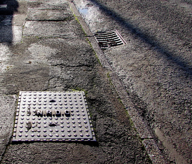
Image: © Jaggery Taken: 3 Jan 2020
Viewed in January 2020. The Archives Hub records that Neath Rural District Council was created under the provisions of the Local Government Act 1894. It comprised the parishes of Baglan Higher, Blaengwrach, Blaenhonddan, Clyne, Coed-ffranc, Dulais Lower, Dulais Higher, Dyffryn Clydach, Michaelston Higher, Neath Lower, Neath Higher, Resolven, Rhigos and Tonna. The Council comprised councillors and a chairman and initially replaced the local sanitary authorities. The Council was responsible for a range of local services including sanitation, sewerage, refuse collection, maintaining local roads, cemeteries and parks, licensing of public entertainments, water supply and housing. Rural District Councils were administered by committees and by appointed officers including a Clerk, Treasurer, Medical Officer of Health, Housing Officer and Surveyor. Neath Rural District Council was abolished in 1974 following local government reorganisation . Its functions were assumed by the new Borough of Neath.
Images are licensed for reuse under creativecommons.org/licenses/by-sa/2.0
Image Location


Leaflet Map data © OpenStreetMap
Latitude
51.734904
Longitude
-3.749286