On-street parking, Heol Las Fawr, Crynant
Introduction
The photograph on this page of On-street parking, Heol Las Fawr, Crynant by Jaggery as part of the Geograph project.
The Geograph project started in 2005 with the aim of publishing, organising and preserving representative images for every square kilometre of Great Britain, Ireland and the Isle of Man.

There are currently over 7.5m images from over 14,400 individuals and you can help contribute to the project by visiting https://www.geograph.org.uk
On-street parking, Heol Las Fawr, Crynant
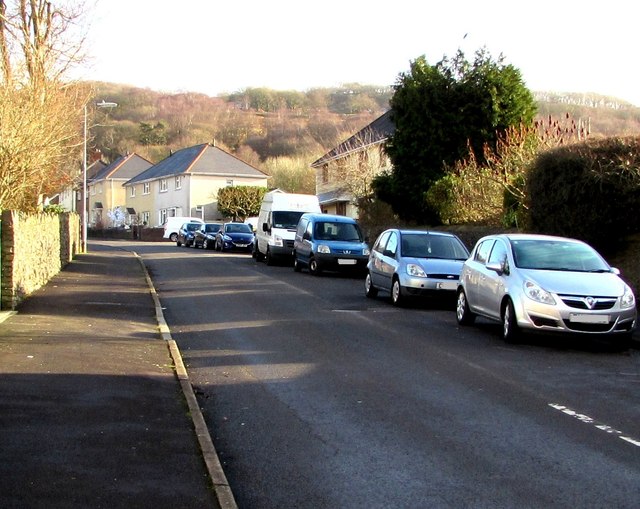
Image: © Jaggery Taken: 3 Jan 2020
Viewed from the corner of the A4109 Main Road looking east. The name sign https://www.geograph.org.uk/photo/6363976 near the camera shows that Heol Las Fawr leads to Heol y Berllan and Swn y Nant.
Images are licensed for reuse under creativecommons.org/licenses/by-sa/2.0
Image Location
Latitude
51.735011
Longitude
-3.748132