Information board for the Gradon, Crynant
Introduction
The photograph on this page of Information board for the Gradon, Crynant by Jaggery as part of the Geograph project.
The Geograph project started in 2005 with the aim of publishing, organising and preserving representative images for every square kilometre of Great Britain, Ireland and the Isle of Man.

There are currently over 7.5m images from over 14,400 individuals and you can help contribute to the project by visiting https://www.geograph.org.uk
Information board for the Gradon, Crynant
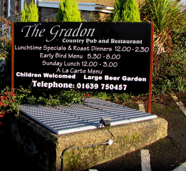
Image: © Jaggery Taken: 3 Jan 2020
On display on the north side of the Gradon https://www.geograph.org.uk/photo/6363950 on January 3rd 2020.
Images are licensed for reuse under creativecommons.org/licenses/by-sa/2.0
Image Location
Latitude
51.736344
Longitude
-3.749197