Ruined houses at Penmanshiel
Introduction
The photograph on this page of Ruined houses at Penmanshiel by Walter Baxter as part of the Geograph project.
The Geograph project started in 2005 with the aim of publishing, organising and preserving representative images for every square kilometre of Great Britain, Ireland and the Isle of Man.

There are currently over 7.5m images from over 14,400 individuals and you can help contribute to the project by visiting https://www.geograph.org.uk
Ruined houses at Penmanshiel
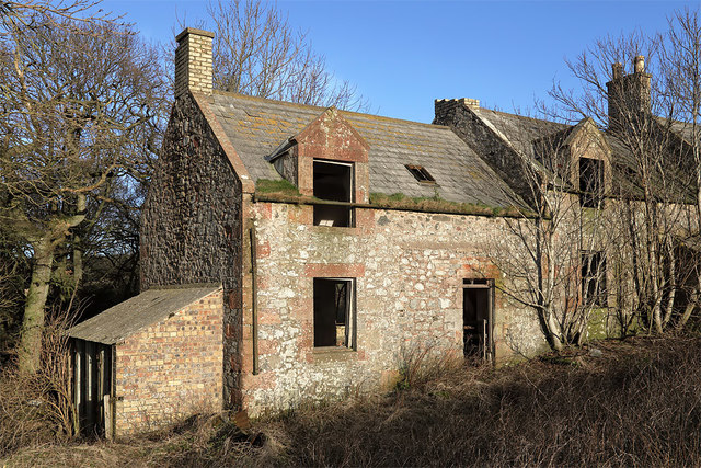
Image: © Walter Baxter Taken: 8 Jan 2020
This is at the west end of a row of two storey abandoned houses near Penmanshiel Farm. For a wider view of the houses, see Image
Images are licensed for reuse under creativecommons.org/licenses/by-sa/2.0
Image Location
Latitude
55.897239
Longitude
-2.319636