Pont Newydd Beaufort/ New Beaufort Bridge
Introduction
The photograph on this page of Pont Newydd Beaufort/ New Beaufort Bridge by Alan Richards as part of the Geograph project.
The Geograph project started in 2005 with the aim of publishing, organising and preserving representative images for every square kilometre of Great Britain, Ireland and the Isle of Man.

There are currently over 7.5m images from over 14,400 individuals and you can help contribute to the project by visiting https://www.geograph.org.uk
Pont Newydd Beaufort/ New Beaufort Bridge
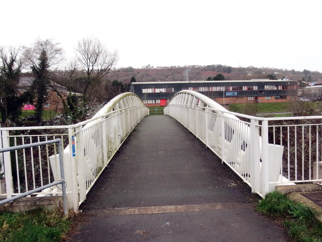
Image: © Alan Richards Taken: 8 Jan 2020
Pont Newydd Beaufort yn rhychwantu Afon Tywi. Codwyd y bont hon yn 2013 fel rhan o gynllun £7m i atal llifogydd yn yr ardal. Adeiladwyd y bont ar hen safle neu'n agos i strwythur a godwyd yn c1747 gan y adeiladwr pont enwog William Edwards ac fe'i dymchwelwyd yn c1968. Built in 2013 the new Beuafort Bridge was part of a £7m flood prevention scheme for the area. The old Beaufort Bridge, built in c1747 by William Edwards, the well known bridge builder, was demolished around 1968.
Images are licensed for reuse under creativecommons.org/licenses/by-sa/2.0
Image Location
Latitude
51.656659
Longitude
-3.922652