Old path from Garrion Gill to Horsley Brae
Introduction
The photograph on this page of Old path from Garrion Gill to Horsley Brae by Alan O'Dowd as part of the Geograph project.
The Geograph project started in 2005 with the aim of publishing, organising and preserving representative images for every square kilometre of Great Britain, Ireland and the Isle of Man.

There are currently over 7.5m images from over 14,400 individuals and you can help contribute to the project by visiting https://www.geograph.org.uk
Old path from Garrion Gill to Horsley Brae
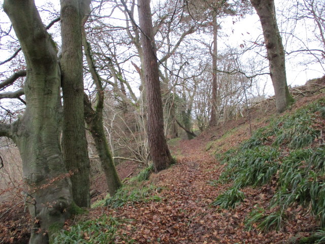
Image: © Alan O'Dowd Taken: 4 Jan 2020
Old maps show an orchard called Blair's Orchard on the right (the name is still marked on the map) but the path now comes out at a gate to a modern housing development off Horsley Brae.
Images are licensed for reuse under creativecommons.org/licenses/by-sa/2.0
Image Location
Latitude
55.748131
Longitude
-3.909472