Outcrops in Garrion Gill
Introduction
The photograph on this page of Outcrops in Garrion Gill by Alan O'Dowd as part of the Geograph project.
The Geograph project started in 2005 with the aim of publishing, organising and preserving representative images for every square kilometre of Great Britain, Ireland and the Isle of Man.

There are currently over 7.5m images from over 14,400 individuals and you can help contribute to the project by visiting https://www.geograph.org.uk
Outcrops in Garrion Gill
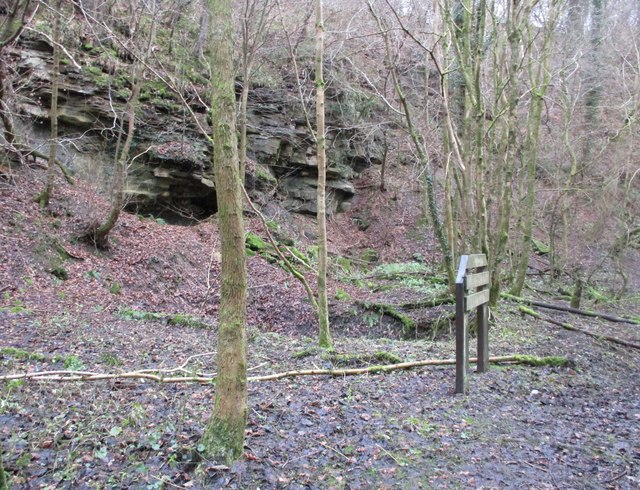
Image: © Alan O'Dowd Taken: 4 Jan 2020
The flat area in the foreground is marked on 19th Century Ordnance Survey maps as containing buildings which were part of Shawhead Colliery. The specific location is marked as Tapponhill Mine.
Images are licensed for reuse under creativecommons.org/licenses/by-sa/2.0
Image Location
Latitude
55.748687
Longitude
-3.908384