Amberley: down the slope to the Wild Brooks
Introduction
The photograph on this page of Amberley: down the slope to the Wild Brooks by Stefan Czapski as part of the Geograph project.
The Geograph project started in 2005 with the aim of publishing, organising and preserving representative images for every square kilometre of Great Britain, Ireland and the Isle of Man.

There are currently over 7.5m images from over 14,400 individuals and you can help contribute to the project by visiting https://www.geograph.org.uk
Amberley: down the slope to the Wild Brooks
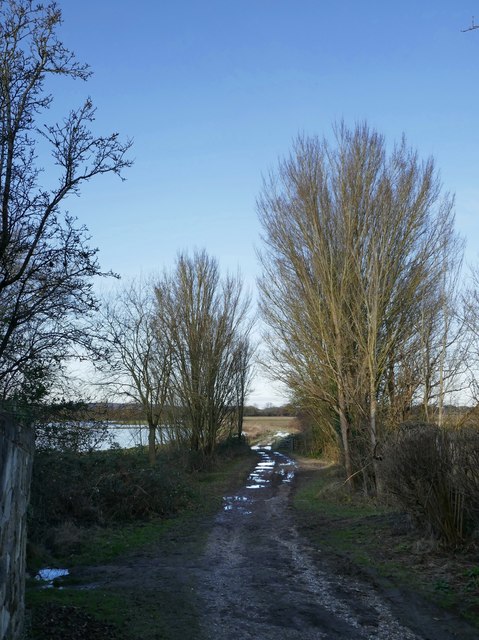
Image: © Stefan Czapski Taken: 4 Jan 2020
The track slopes down from Hog Lane, in the village. On the fourth day of 2020, an area of the brooks to the west of the track was flooded, while the area to the east was drier.
Images are licensed for reuse under creativecommons.org/licenses/by-sa/2.0
Image Location
Latitude
50.909802
Longitude
-0.535779