Rowley Regis Station
Introduction
The photograph on this page of Rowley Regis Station by Stephen McKay as part of the Geograph project.
The Geograph project started in 2005 with the aim of publishing, organising and preserving representative images for every square kilometre of Great Britain, Ireland and the Isle of Man.

There are currently over 7.5m images from over 14,400 individuals and you can help contribute to the project by visiting https://www.geograph.org.uk
Rowley Regis Station
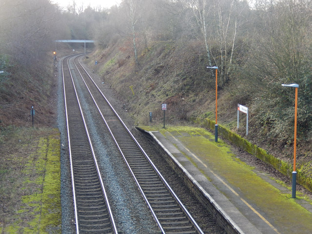
Image: © Stephen McKay Taken: 4 Jan 2020
This is the view towards Stourbridge from the Station Road bridge showing the ends of the platforms at Rowley Regis. The line was opened in 1867 by the independent Stourbridge Railway which was quickly taken over by the Great Western Railway; it continues to be an important part of the West Midlands rail network. Rowley Regis station is actually in Blackheath and was known as Rowley Regis and Blackheath until 1968; perhaps somebody decided that if the name was to be shortened, Rowley Regis sounded grander than Blackheath.
Images are licensed for reuse under creativecommons.org/licenses/by-sa/2.0
Image Location
Latitude
52.476605
Longitude
-2.032199