Ridge and furrow east of Tetford: aerial 2020
Introduction
The photograph on this page of Ridge and furrow east of Tetford: aerial 2020 by Chris as part of the Geograph project.
The Geograph project started in 2005 with the aim of publishing, organising and preserving representative images for every square kilometre of Great Britain, Ireland and the Isle of Man.

There are currently over 7.5m images from over 14,400 individuals and you can help contribute to the project by visiting https://www.geograph.org.uk
Ridge and furrow east of Tetford: aerial 2020
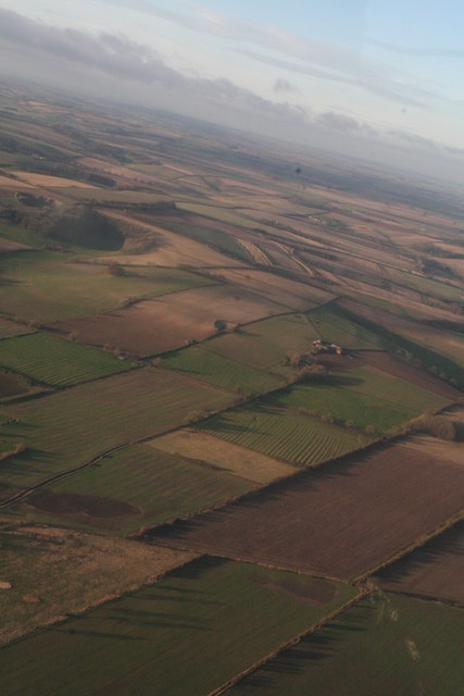
Image: © Chris Taken: 4 Jan 2020
Double Dike runs across the bottom of the shot in Image
Images are licensed for reuse under creativecommons.org/licenses/by-sa/2.0
Image Location
Latitude
53.258231
Longitude
0.013161