Path leaves the road [5]
Introduction
The photograph on this page of Path leaves the road [5] by Michael Dibb as part of the Geograph project.
The Geograph project started in 2005 with the aim of publishing, organising and preserving representative images for every square kilometre of Great Britain, Ireland and the Isle of Man.

There are currently over 7.5m images from over 14,400 individuals and you can help contribute to the project by visiting https://www.geograph.org.uk
Path leaves the road [5]
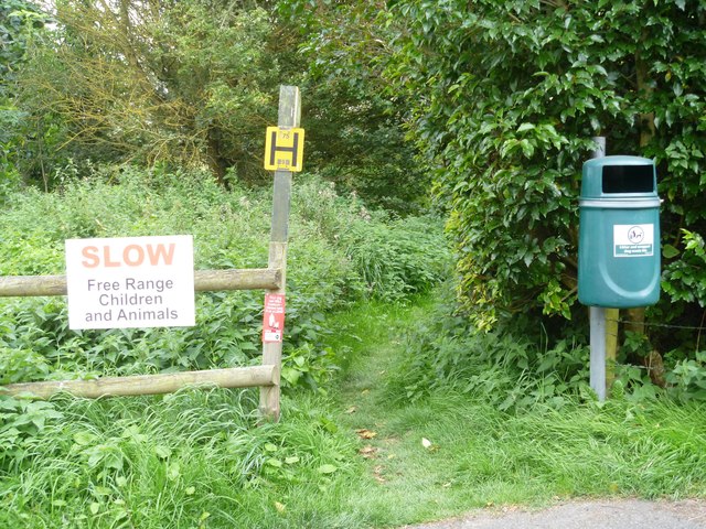
Image: © Michael Dibb Taken: 2 Sep 2019
The path runs towards Lockeridge and joins the village road near where it crosses the River Kennet. The village of Fyfield was once closer to the River Kennet. Frequent flooding and a number of cottage fires led in the 1860s to the abandonment of that site in favour of higher ground along the London to Bath road (now the A4). Many of the new cottages, the Fighting Cocks inn and a chapel were demolished when the A4 was widened in the 1930s.
Images are licensed for reuse under creativecommons.org/licenses/by-sa/2.0
Image Location


Leaflet Map data © OpenStreetMap
Latitude
51.415416
Longitude
-1.787853