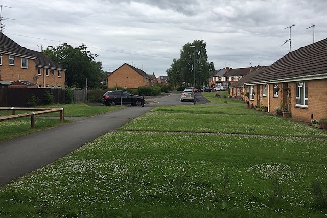
Sharpe Close, Packmores, Warwick
Introduction
The photograph on this page of Sharpe Close, Packmores, Warwick by Robin Stott as part of the Geograph project.
The Geograph project started in 2005 with the aim of publishing, organising and preserving representative images for every square kilometre of Great Britain, Ireland and the Isle of Man.
There are currently over 7.5m images from over 14,400 individuals and you can help contribute to the project by visiting https://www.geograph.org.uk

Image: © Robin Stott Taken: 8 Jun 2019
These houses and OAP bungalows first appear on an OS map of 1982-1985. From about 1905 the land had been allotments. Before that it looks like open space, part of Priory Ponds, that area of The Priory's grounds that was severed around 1850 by Brunel's Oxford-Birmingham extension of the Great Western Railway.

