Woodside
Introduction
The photograph on this page of Woodside by Ian Capper as part of the Geograph project.
The Geograph project started in 2005 with the aim of publishing, organising and preserving representative images for every square kilometre of Great Britain, Ireland and the Isle of Man.

There are currently over 7.5m images from over 14,400 individuals and you can help contribute to the project by visiting https://www.geograph.org.uk
Woodside
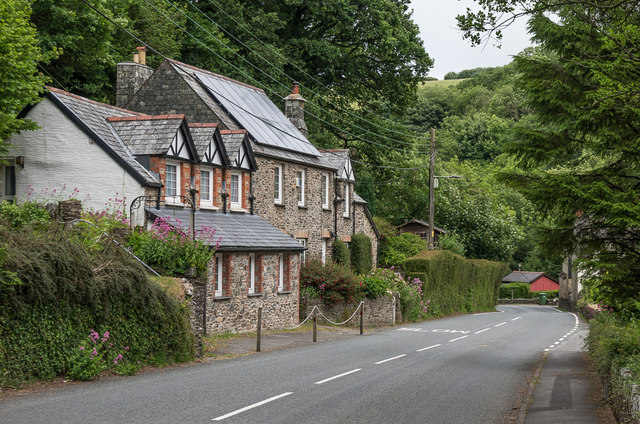
Image: © Ian Capper Taken: 17 Jun 2018
House on Barbrook Road in Barbrook. The nearest section used to be Barbrook shop and post office until closure in 2008, since when it has been converted to residential use.
Images are licensed for reuse under creativecommons.org/licenses/by-sa/2.0
Image Location
Latitude
51.214212
Longitude
-3.840327