Flush Bracket OSBM S2236: Lowdham, Brakes Farm
Introduction
The photograph on this page of Flush Bracket OSBM S2236: Lowdham, Brakes Farm by Brian Westlake as part of the Geograph project.
The Geograph project started in 2005 with the aim of publishing, organising and preserving representative images for every square kilometre of Great Britain, Ireland and the Isle of Man.

There are currently over 7.5m images from over 14,400 individuals and you can help contribute to the project by visiting https://www.geograph.org.uk
Flush Bracket OSBM S2236: Lowdham, Brakes Farm
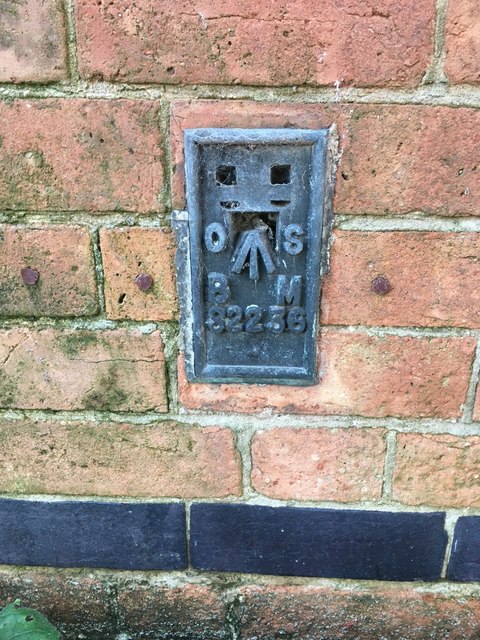
Image: © Brian Westlake Taken: 3 Jan 2020
Flush bracket benchmark on the side of the house, now under restoration. See https://www.geograph.org.uk/photo/6359806 for a wider view and https://www.bench-marks.org.uk/bm11282 for details.
Images are licensed for reuse under creativecommons.org/licenses/by-sa/2.0
Image Location
Latitude
53.005889
Longitude
-1.00506