Bournemouth: Central Christadelphian Church
Introduction
The photograph on this page of Bournemouth: Central Christadelphian Church by Chris Downer as part of the Geograph project.
The Geograph project started in 2005 with the aim of publishing, organising and preserving representative images for every square kilometre of Great Britain, Ireland and the Isle of Man.

There are currently over 7.5m images from over 14,400 individuals and you can help contribute to the project by visiting https://www.geograph.org.uk
Bournemouth: Central Christadelphian Church
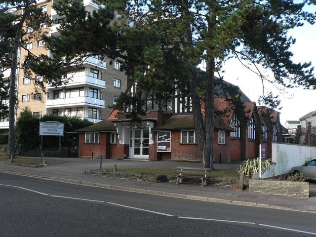
Image: © Chris Downer Taken: 12 Dec 2007
Unusually, a church with a number! This is at 28 Bath Road; the '28' being affixed to the doorway as if it were a house. Update: 27 June 2013 - I passed today and noticed that it is in the process of being demolished.
Images are licensed for reuse under creativecommons.org/licenses/by-sa/2.0
Image Location
Latitude
50.72152
Longitude
-1.867919