Snowdrop Cottage, south of Kitbridge
Introduction
The photograph on this page of Snowdrop Cottage, south of Kitbridge by David Smith as part of the Geograph project.
The Geograph project started in 2005 with the aim of publishing, organising and preserving representative images for every square kilometre of Great Britain, Ireland and the Isle of Man.

There are currently over 7.5m images from over 14,400 individuals and you can help contribute to the project by visiting https://www.geograph.org.uk
Snowdrop Cottage, south of Kitbridge
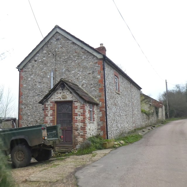
Image: © David Smith Taken: 30 Dec 2019
This building is marked on Victorian OS maps on the edge of the reclaimed moorland on Birchill Common
Images are licensed for reuse under creativecommons.org/licenses/by-sa/2.0
Image Location
Latitude
50.827429
Longitude
-2.983323