Lane descending towards Poppit Sands
Introduction
The photograph on this page of Lane descending towards Poppit Sands by Mat Fascione as part of the Geograph project.
The Geograph project started in 2005 with the aim of publishing, organising and preserving representative images for every square kilometre of Great Britain, Ireland and the Isle of Man.

There are currently over 7.5m images from over 14,400 individuals and you can help contribute to the project by visiting https://www.geograph.org.uk
Lane descending towards Poppit Sands
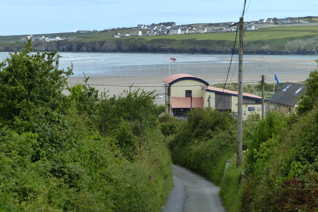
Image: © Mat Fascione Taken: 3 Jun 2019
The village of Gwbert in Ceredigion is a mile away along Cardigan Bay.
Images are licensed for reuse under creativecommons.org/licenses/by-sa/2.0
Image Location


Leaflet Map data © OpenStreetMap
Latitude
52.10385
Longitude
-4.701036