Coed Darcy
Introduction
The photograph on this page of Coed Darcy by Alan Richards as part of the Geograph project.
The Geograph project started in 2005 with the aim of publishing, organising and preserving representative images for every square kilometre of Great Britain, Ireland and the Isle of Man.

There are currently over 7.5m images from over 14,400 individuals and you can help contribute to the project by visiting https://www.geograph.org.uk
Coed Darcy
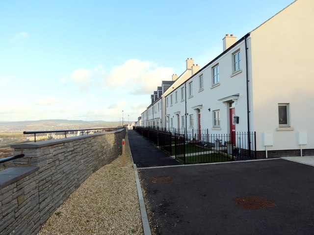
Image: © Alan Richards Taken: 3 Jan 2020
Llwybr yn mynd heibio i res o dai o'r enw The Ridgeway ar ystad Coed Darcy. Codwyd y tai ar hen safle purfa olew. A path running alongside a row of houses known as The Ridgeway on the Coed Darcy estate. The houses are built on the site of a former oil refinery.
Images are licensed for reuse under creativecommons.org/licenses/by-sa/2.0
Image Location
Latitude
51.644662
Longitude
-3.863607