Enfield Crescent
Introduction
The photograph on this page of Enfield Crescent by Ian Capper as part of the Geograph project.
The Geograph project started in 2005 with the aim of publishing, organising and preserving representative images for every square kilometre of Great Britain, Ireland and the Isle of Man.

There are currently over 7.5m images from over 14,400 individuals and you can help contribute to the project by visiting https://www.geograph.org.uk
Enfield Crescent
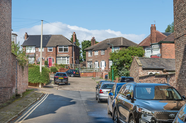
Image: © Ian Capper Taken: 17 Aug 2019
Cul-de-sac (despite the name) off St Paul's Square. The 1937 1:2,500 map show the area round the corner to the left as an "Intrenchment" (sic), with "Medieval Pottery &c. found A.D. 1936". Although no development of this road is shown on that map, this suggests that work might have started soon after, if the discovery was part of pre-development archaeological work.
Images are licensed for reuse under creativecommons.org/licenses/by-sa/2.0
Image Location
Latitude
53.955115
Longitude
-1.102769