Urban farm
Introduction
The photograph on this page of Urban farm by Bill Harrison as part of the Geograph project.
The Geograph project started in 2005 with the aim of publishing, organising and preserving representative images for every square kilometre of Great Britain, Ireland and the Isle of Man.

There are currently over 7.5m images from over 14,400 individuals and you can help contribute to the project by visiting https://www.geograph.org.uk
Urban farm
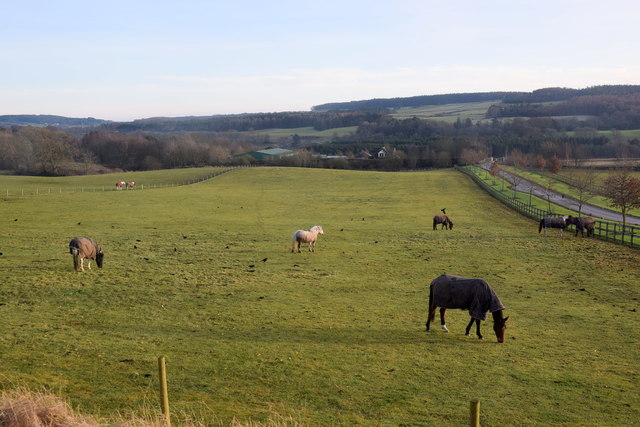
Image: © Bill Harrison Taken: 1 Jan 2020
Milltimber Farm lies well within the boundary of Aberdeen City and would surely be worth a fortune to developers for houses but it is zoned as green belt for now (2019).
Images are licensed for reuse under creativecommons.org/licenses/by-sa/2.0
Image Location
Latitude
57.104799
Longitude
-2.22828