Hope Street and Argyle Street
Introduction
The photograph on this page of Hope Street and Argyle Street by John Sutton as part of the Geograph project.
The Geograph project started in 2005 with the aim of publishing, organising and preserving representative images for every square kilometre of Great Britain, Ireland and the Isle of Man.

There are currently over 7.5m images from over 14,400 individuals and you can help contribute to the project by visiting https://www.geograph.org.uk
Hope Street and Argyle Street
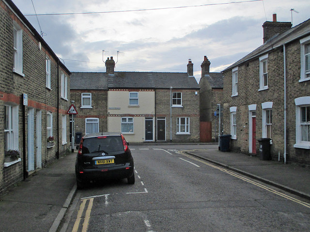
Image: © John Sutton Taken: 2 Jan 2020
Cambridge expanded eastwards in the decades after the coming of the railway in 1845.
Images are licensed for reuse under creativecommons.org/licenses/by-sa/2.0
Image Location
Latitude
52.196326
Longitude
0.144223