The former Great Western (3) - sign, Coventry Road, Warwick
Introduction
The photograph on this page of The former Great Western (3) - sign, Coventry Road, Warwick by P L Chadwick as part of the Geograph project.
The Geograph project started in 2005 with the aim of publishing, organising and preserving representative images for every square kilometre of Great Britain, Ireland and the Isle of Man.

There are currently over 7.5m images from over 14,400 individuals and you can help contribute to the project by visiting https://www.geograph.org.uk
The former Great Western (3) - sign, Coventry Road, Warwick
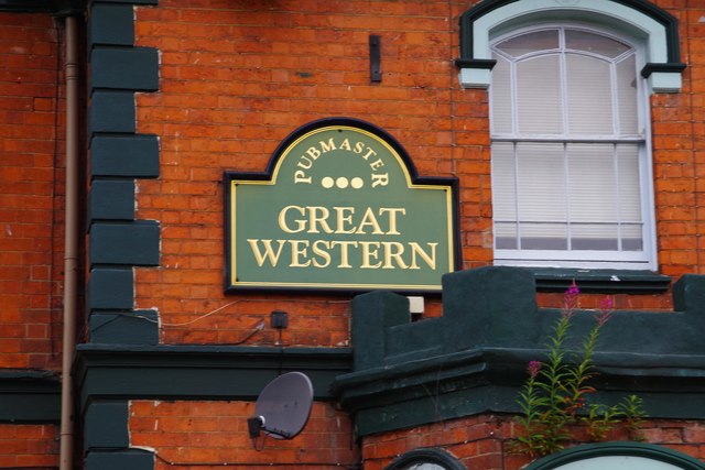
Image: © P L Chadwick Taken: 27 Jul 2015
The sign of the former Great Western public house, on the side of the building facing Coventry Road. The building was demolished in November 2019. It was for a while part of the large Pubmaster estate of pubs. Photographs of the pub taken in July 2015:- Image; Image
Images are licensed for reuse under creativecommons.org/licenses/by-sa/2.0
Image Location
Latitude
52.285544
Longitude
-1.580544