Wakefield Road, East Bowling
Introduction
The photograph on this page of Wakefield Road, East Bowling by habiloid as part of the Geograph project.
The Geograph project started in 2005 with the aim of publishing, organising and preserving representative images for every square kilometre of Great Britain, Ireland and the Isle of Man.

There are currently over 7.5m images from over 14,400 individuals and you can help contribute to the project by visiting https://www.geograph.org.uk
Wakefield Road, East Bowling
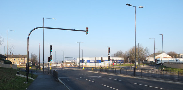
Image: © habiloid Taken: 1 Jan 2020
This junction of Wakefield Road (A650) with Neville Road and New Hey Road replaced an earlier roundabout. The roadworks implementing this change can be seen in Image and Image
Images are licensed for reuse under creativecommons.org/licenses/by-sa/2.0
Image Location
Latitude
53.78223
Longitude
-1.733167