Bluebell Railway Crossing
Introduction
The photograph on this page of Bluebell Railway Crossing by Peter Trimming as part of the Geograph project.
The Geograph project started in 2005 with the aim of publishing, organising and preserving representative images for every square kilometre of Great Britain, Ireland and the Isle of Man.

There are currently over 7.5m images from over 14,400 individuals and you can help contribute to the project by visiting https://www.geograph.org.uk
Bluebell Railway Crossing
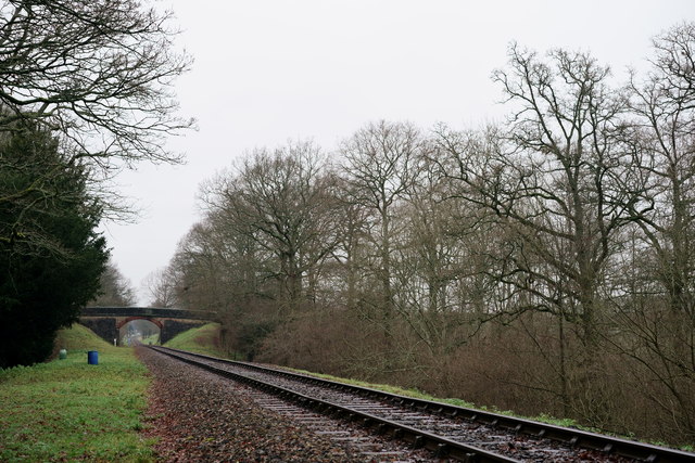
Image: © Peter Trimming Taken: 28 Dec 2019
South-east of Kingscote, the footpath climbs an embankment and crosses the line at this point. View towards Kingscote.
Images are licensed for reuse under creativecommons.org/licenses/by-sa/2.0
Image Location
Latitude
51.092734
Longitude
-0.039614