The way out at Starbucks, Markham Moor
Introduction
The photograph on this page of The way out at Starbucks, Markham Moor by Christine Johnstone as part of the Geograph project.
The Geograph project started in 2005 with the aim of publishing, organising and preserving representative images for every square kilometre of Great Britain, Ireland and the Isle of Man.

There are currently over 7.5m images from over 14,400 individuals and you can help contribute to the project by visiting https://www.geograph.org.uk
The way out at Starbucks, Markham Moor
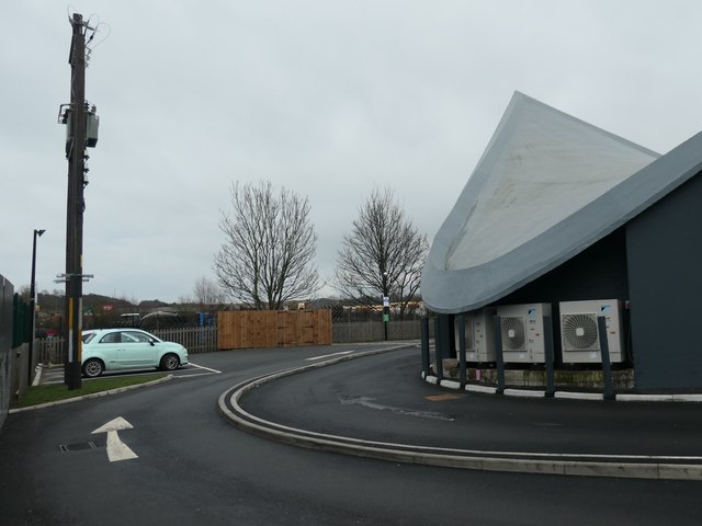
Image: © Christine Johnstone Taken: 26 Dec 2019
Alongside the iconic hyperbolic paraboloid canopy. This was built in 1960-61 as a canopy over a filling station. In the 1980s a restaurant building was fitted underneath. After some years of disuse, Starbucks opened a branch here in December 2019.
Images are licensed for reuse under creativecommons.org/licenses/by-sa/2.0
Image Location


Leaflet Map data © OpenStreetMap
Latitude
53.256178
Longitude
-0.925063