Purton houses [8]
Introduction
The photograph on this page of Purton houses [8] by Michael Dibb as part of the Geograph project.
The Geograph project started in 2005 with the aim of publishing, organising and preserving representative images for every square kilometre of Great Britain, Ireland and the Isle of Man.

There are currently over 7.5m images from over 14,400 individuals and you can help contribute to the project by visiting https://www.geograph.org.uk
Purton houses [8]
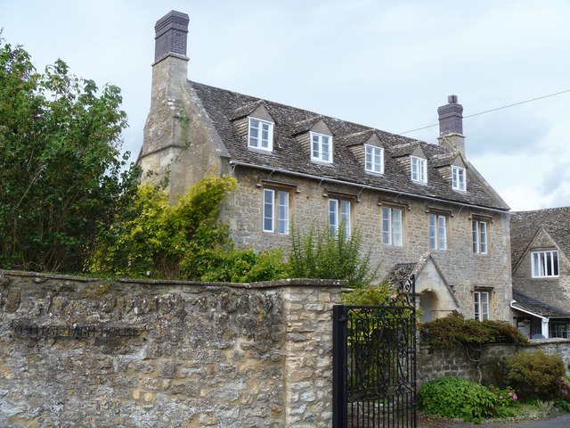
Image: © Michael Dibb Taken: 28 Aug 2019
College Farmhouse is dated 1626. Now a private dwelling and not associated with a farm, the house contains a 17th century fully panelled parlour and several other original internal features. Listed, grade II*, with details at: https://historicengland.org.uk/listing/the-list/list-entry/1198361 Originally built round the parish church, manor and Tithe barn, the village moved and is now mostly spread out along the Bristol and Oxford coach road.
Images are licensed for reuse under creativecommons.org/licenses/by-sa/2.0
Image Location
Latitude
51.587452
Longitude
-1.870048