Llwybr drwy ystad o dai / Path through a housing estate
Introduction
The photograph on this page of Llwybr drwy ystad o dai / Path through a housing estate by Alan Richards as part of the Geograph project.
The Geograph project started in 2005 with the aim of publishing, organising and preserving representative images for every square kilometre of Great Britain, Ireland and the Isle of Man.

There are currently over 7.5m images from over 14,400 individuals and you can help contribute to the project by visiting https://www.geograph.org.uk
Llwybr drwy ystad o dai / Path through a housing estate
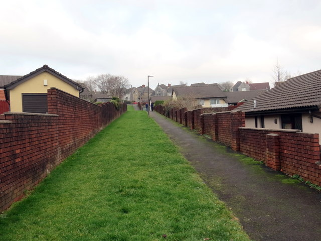
Image: © Alan Richards Taken: 31 Dec 2019
Llwybr yn mynd drwy ystad o dai tuag at Heol Gellionnen. A path heading through a housing estate towards Gellionnen Road (trans. ash grove).
Images are licensed for reuse under creativecommons.org/licenses/by-sa/2.0
Image Location
Latitude
51.703873
Longitude
-3.894695