Trees near Hart Grove Farm
Introduction
The photograph on this page of Trees near Hart Grove Farm by David Smith as part of the Geograph project.
The Geograph project started in 2005 with the aim of publishing, organising and preserving representative images for every square kilometre of Great Britain, Ireland and the Isle of Man.

There are currently over 7.5m images from over 14,400 individuals and you can help contribute to the project by visiting https://www.geograph.org.uk
Trees near Hart Grove Farm
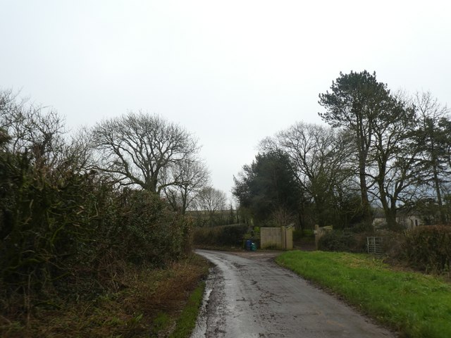
Image: © David Smith Taken: 30 Dec 2019
The farm is to the left, and the trees surround a second house. The road has an angular bend; old maps show that the hedge line ran straight ahead and there was a small orchard in the angle between road and hedge
Images are licensed for reuse under creativecommons.org/licenses/by-sa/2.0
Image Location
Latitude
50.74181
Longitude
-2.994709