Y Cantreff Inn information board, Abergavenny
Introduction
The photograph on this page of Y Cantreff Inn information board, Abergavenny by Jaggery as part of the Geograph project.
The Geograph project started in 2005 with the aim of publishing, organising and preserving representative images for every square kilometre of Great Britain, Ireland and the Isle of Man.

There are currently over 7.5m images from over 14,400 individuals and you can help contribute to the project by visiting https://www.geograph.org.uk
Y Cantreff Inn information board, Abergavenny
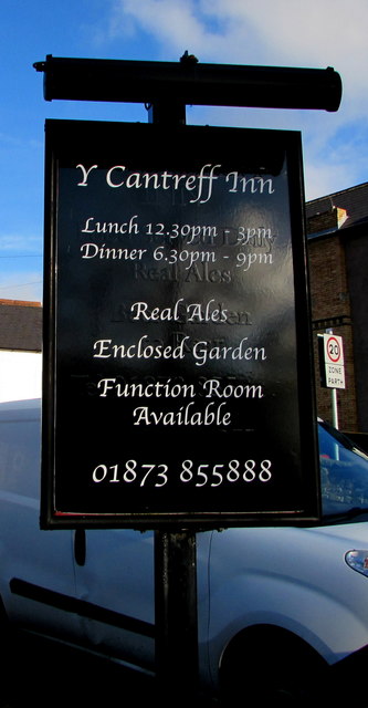
Image: © Jaggery Taken: 29 Dec 2019
On display on the Brecon Road side of Y Cantreff Inn https://www.geograph.org.uk/photo/6356233 on December 29th 2019. Part of earlier information is visible on the board.
Images are licensed for reuse under creativecommons.org/licenses/by-sa/2.0
Image Location
Latitude
51.825165
Longitude
-3.027539