Paxton Drive flats in the fog
Introduction
The photograph on this page of Paxton Drive flats in the fog by Neil Owen as part of the Geograph project.
The Geograph project started in 2005 with the aim of publishing, organising and preserving representative images for every square kilometre of Great Britain, Ireland and the Isle of Man.

There are currently over 7.5m images from over 14,400 individuals and you can help contribute to the project by visiting https://www.geograph.org.uk
Paxton Drive flats in the fog
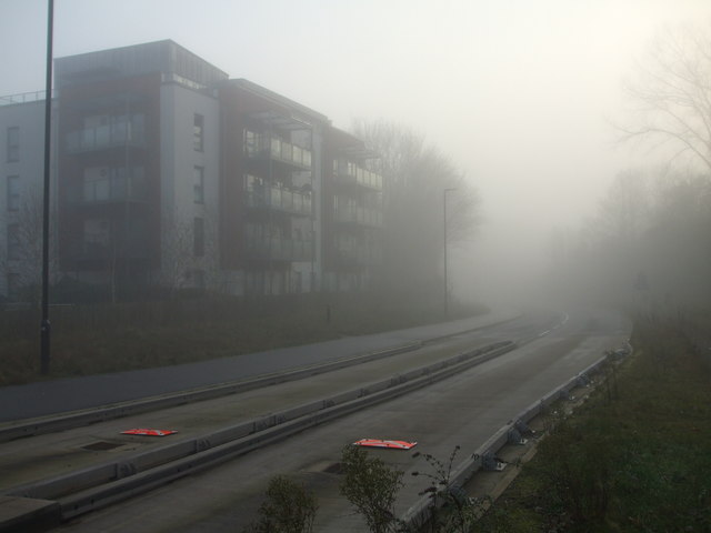
Image: © Neil Owen Taken: 30 Dec 2019
Backing onto the new Metrobus route, the blocks of flats occupy a parcel of land that used to have a tramway, several railway lines and a concrete works in the past. More recently, the land used to have a ten pin bowling alley.
Images are licensed for reuse under creativecommons.org/licenses/by-sa/2.0
Image Location
Latitude
51.442804
Longitude
-2.624831