
Skeeby Beck [2]
Introduction
The photograph on this page of Skeeby Beck [2] by Gordon Hatton as part of the Geograph project.
The Geograph project started in 2005 with the aim of publishing, organising and preserving representative images for every square kilometre of Great Britain, Ireland and the Isle of Man.

There are currently over 7.5m images from over 14,400 individuals and you can help contribute to the project by visiting https://www.geograph.org.uk
Skeeby Beck [2]
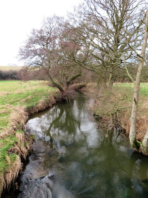
Image: © Gordon Hatton Taken: 29 Dec 2019
Looking upstream along the beck from the bridge below Union House. The beck has several different names along its course, but it drains a large area between the Pennine moors to the south and the ridge along which runs the A66 to the north. This is likely to be a valley part carved by glacial meltwaters from the Stainmoor glacier, there being a gap through which water may have escaped at Smallways [NZ1111].
Images are licensed for reuse under creativecommons.org/licenses/by-sa/2.0
Image Location

Latitude
54.412235
Longitude
-1.686879