Farmland east of Wombourne in Staffordshire
Introduction
The photograph on this page of Farmland east of Wombourne in Staffordshire by Roger Kidd as part of the Geograph project.
The Geograph project started in 2005 with the aim of publishing, organising and preserving representative images for every square kilometre of Great Britain, Ireland and the Isle of Man.

There are currently over 7.5m images from over 14,400 individuals and you can help contribute to the project by visiting https://www.geograph.org.uk
Farmland east of Wombourne in Staffordshire
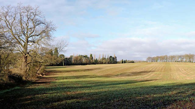
Image: © Roger Kidd Taken: 25 Dec 2019
Looking north-west from the Gospel End footpath. The A449 Stourbridge Road to Wolverhampton passes along the edge of the dark woodland on the left.
Images are licensed for reuse under creativecommons.org/licenses/by-sa/2.0
Image Location
Latitude
52.531134
Longitude
-2.177588