View east along Pelton Fell Road
Introduction
The photograph on this page of View east along Pelton Fell Road by Robert Graham as part of the Geograph project.
The Geograph project started in 2005 with the aim of publishing, organising and preserving representative images for every square kilometre of Great Britain, Ireland and the Isle of Man.

There are currently over 7.5m images from over 14,400 individuals and you can help contribute to the project by visiting https://www.geograph.org.uk
View east along Pelton Fell Road
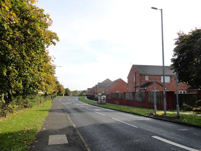
Image: © Robert Graham Taken: 14 Oct 2019
This road leads into Chester le Street town centre. The trees on the left are screening an open park area which used to be site of Pelton Fell Colliery, which closed in 1965.
Images are licensed for reuse under creativecommons.org/licenses/by-sa/2.0
Image Location
Latitude
54.85864
Longitude
-1.605701